Get engineering quality data to monitor your infrastructure networks from your desk.
Get imagery, terrain models, boundaries, floodplains and more, or, have us develop a custom application to help you plan, track, and manage operations.
Use Cases
Renewables
- Streamline Site Selection Methodology
- Research Land Information
- Non-Intrusive Environmental Assessments
- Forecast Demand and Resource Potential
Infrastructure Maintenance Cycles
- Identify Operational Efficiencies
- Manage, Schedule, and Maintain Vast Networks
- System Overviews and Photographic Detail of Individual Sites
- Direct Measurement of Distances, Areas, and Earthwork Computations
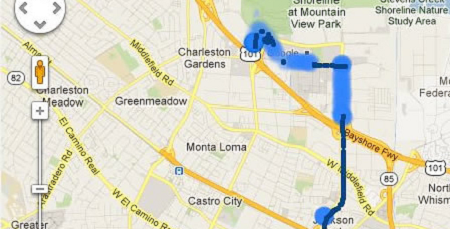
Mobile Asset Tracking
- Workforce Location Tracking and Accountability
- Timely Communication and Deployment of Field Crews
- Efficient Emergency Response Capabilities
- Accurate Information on Worksite Conditions and Hazards
Custom Solutions
Get a fully comprehensive solution that:

- Improves Resource Tracking and Planning
- Provides Value Added Service for the Public and Key Stakeholders
- Improves Analysis and Reporting Accuracy
- Improves Overall Decision Making
- Reduces Costly Errors and Deficiencies
- Improves Project Timeline Accuracy
Discover More
-

-
Data Catalogue
-

-
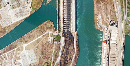
Orthophoto
-

-
Frequently Asked Questions
-

-
Satellite
-

-
Parcel
-

-
Elevation
-
-
MapCast
-

-
FBS University


 905-477-3600
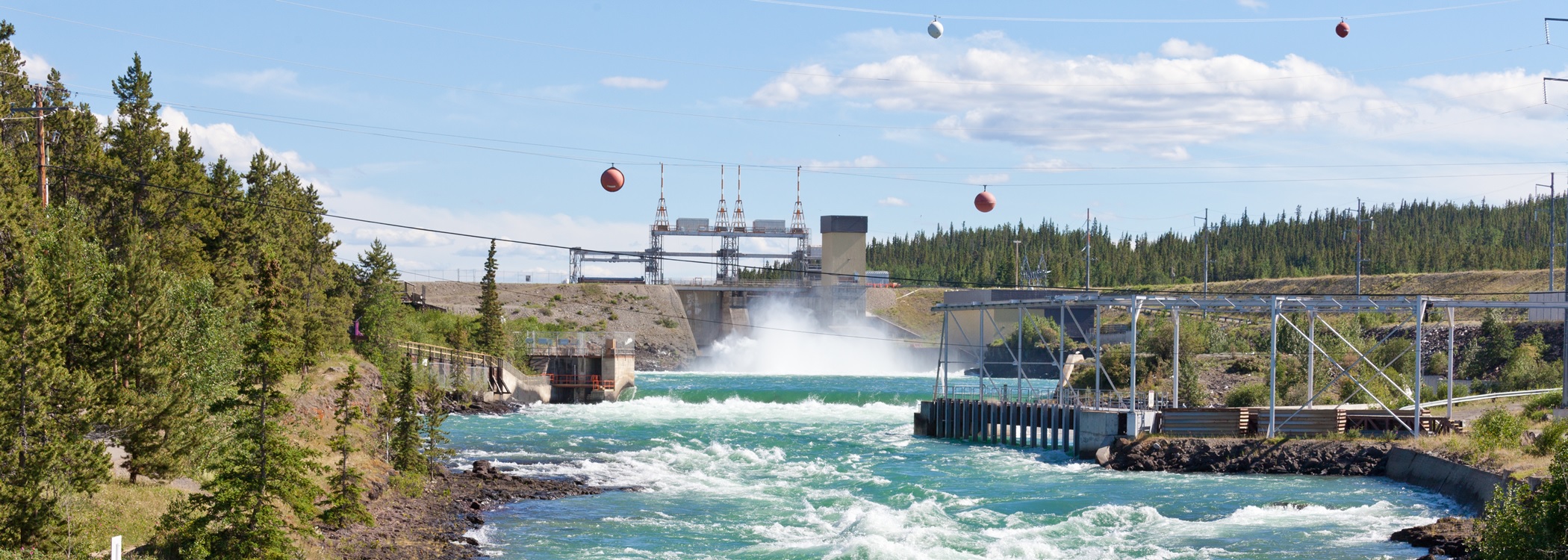

 Blog: FBS Data Supports Intelligent Pipeline Planning Decisions
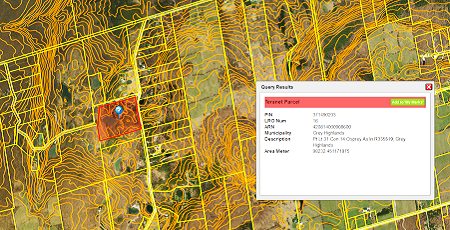
 Use Cases In Depth