

 905-477-3600
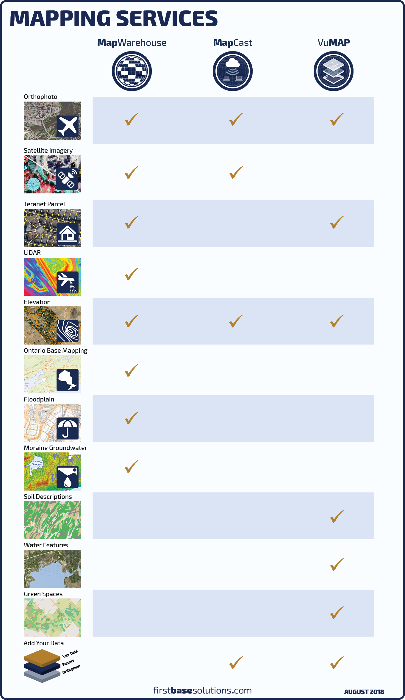
Saving, surfing, or streaming? Access aerial imagery and geospatial data through our three web based services.
The mapping catalogue is always expanding with new aerial imagery collections and data from our valued partners.
 Blog: Decision Guide: Ground or Aerial Survey?
Why buy DEM or contour mapping if you need a survey anyway? One’s not better than the other, they both have their place in the project life cycle…
Why buy DEM or contour mapping if you need a survey anyway? One’s not better than the other, they both have their place in the project life cycle…
Three Options
 MapWarehouse
Online Store
Locate your area of interest on a map and search for data covering that area. Add items to your cart, enter a credit card, then download the files. Save the data locally to use in your CAD or GIS based project.
![]() Go Now |
Go Now | ![]() Learn More
Learn More
 MapCast
Web Mapping Service
Your team’s annual subscription serves an aerial image base layer and contour elevations directly into your CAD or GIS software. No large files to download or store.
![]() Go Now |
Go Now | ![]() Learn More
Learn More
 VuMAP
VuMAP
Online Application
Your annual subscription allows unlimited access through a web browser to view the same data as found on MapWarehouse and more, plus easy to use built-in tools to analyze, plan, and communicate spatial information.
![]() Go Now
|
Go Now
| ![]() Learn More
Learn More
Compare All Three
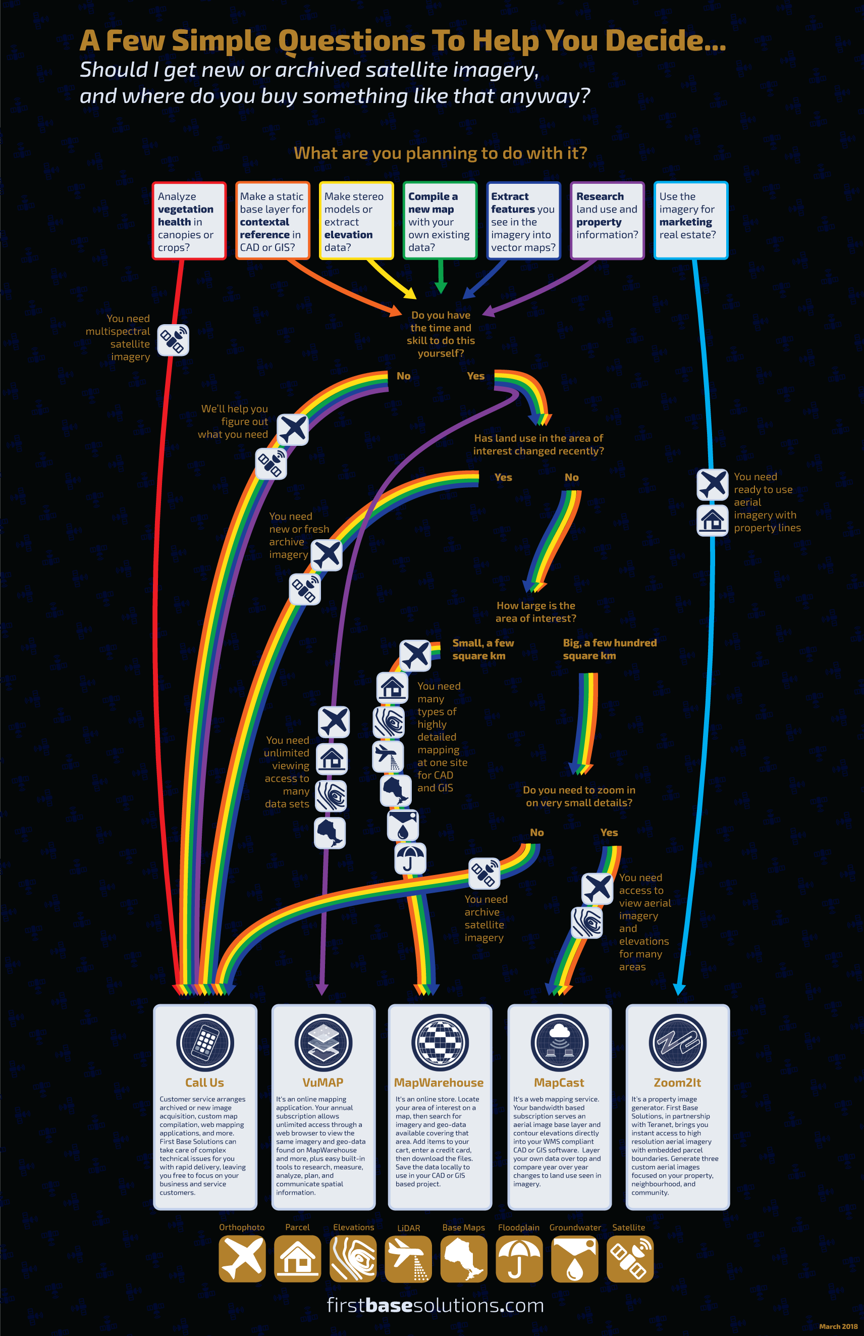
First Base Solutions Quick Tips: Choosing A Mapping Service
Help Me Choose
Blog: Pop Quiz: Ontario History
Aerial imagery gives us technology to look at history from a new perspective. Test your knowledge of local history sites below. Question 1. What’s this site in Toronto known for?…
Aerial imagery gives us technology to look at history from a new perspective. Test your knowledge of local history sites below. Question 1. What’s this site in Toronto known for?…
Discover More
-
-
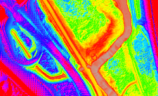
LiDAR
-

-
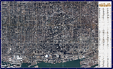
Orthophoto
-
-
Wall Map
-

-
Parcel
-

-
MapCast
-

-
Floodplain
-

-
Help & Support
-

-
FBS University