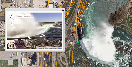
Teach with technology to engage students, or source quality spatial data for high level academic research.
Administrators use mapping tools to plan for the future, or share information internally and with the public. Non commercial users may qualify for discounts. Just ask!
Use Cases
Students
- Integrate Data into Independent Studies
- Advanced Research and Analytic Tools
- Multi-Platform Compatibility
- Manage Time and Resources Efficiently
Teachers
- Real World Data as Teaching Materials
- Exceed Curriculum Expectations
- Expose Students to New Technology
- Encourage Curiosity and Independent Learning
Administration
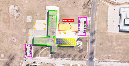
- Efficient Capital Planning and Maintenance Routines
- Forecast Demographics and Community Needs
- Public and Internal Communication Tools
- Analyze School Capacities and Plan Catchment Areas
Custom Solutions
Get a fully comprehensive solution that:

- Improves Resource Tracking and Planning
- Provides Value Added Service for the Public and Key Stakeholders
- Improves Analysis and Reporting Accuracy
- Increases Effective Internal and External Communication
- Enables Monitoring and Tracking of Contractors, Billing, and Invoicing
Discover More
-

-
Data Catalogue
-

-
VuMAP
-

-
Orthophoto
-

-
Frequently Asked Questions
-

-
Satellite
-

-
Printing
-
-
Ontario Base Map
-

-
FBS University


 905-477-3600

 Blog: Pop Quiz: Ontario History [Photoblog]