
- Go to:
- MapWarehouse
- VuMAP
- MapCast
-

-

-

-
 905-477-3600


How To Purchase

MapWarehouse
Ontario’s Largest Geospatial Data Marketplace
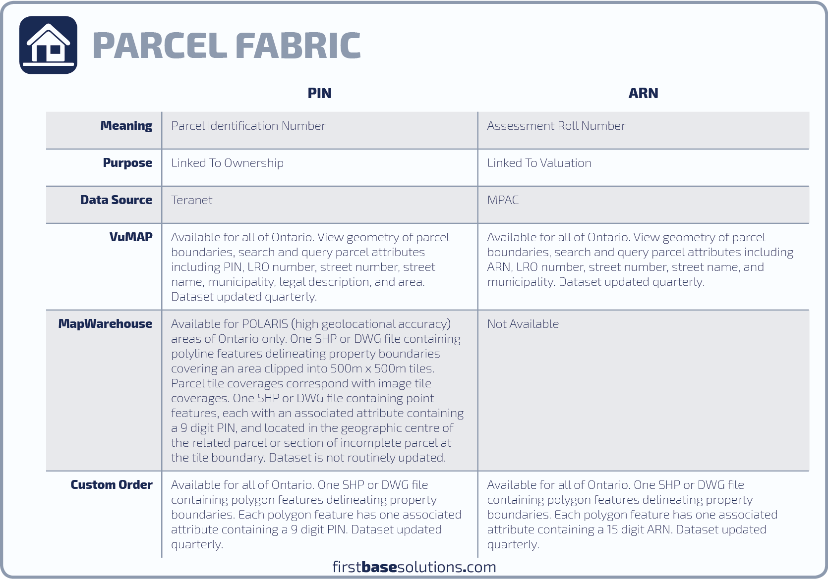
Search for data, select files covering your location, download your order, and work with aerial imagery and geographic data. Use the interactive map to locate your area of interest and purchase multiple data sets easily and quickly with a credit card. Not all parcel mapping is available through MapWarehouse. Place a custom order to access all PINs and ARNs for Ontario.
![]() Go Now |
Go Now | ![]() Learn More
Learn More

VuMAP
Access Every Place From One Place
View geographic data, query the map for more information, measure ground features you see in the imagery, and report on your research using this feature-packed online mapping application. Compare imagery year by year and research land information from anywhere.
![]() Go Now
|
Go Now
| ![]() Learn More
Learn More

Zoom2it
Real Simple Real Estate Marketing
Get instant access to Ontario parcel boundaries drawn over high resolution aerial imagery. Generate three custom aerial images for your real estate listing focused on your property; a great way to market large, remote, or irregularly shaped properties.
![]() Go Now |
Go Now | ![]() Learn More
Learn More
Custom Order
Contact Us For Special Orders
First Base Solutions can help you locate and purchase sections of the parcel mapping database not available through MapWarehouse based on area of interest, PIN, ARN, parcel size, proximity to another location, or other query parameters you request. Contact customer service for assistance.
![]() Go Now
Go Now
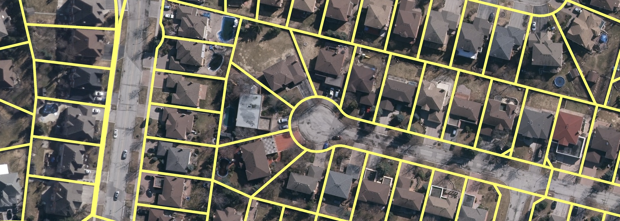
 Compare Boundary Mapping
 Compare Boundary Mapping
Available Data Coverage
 Blog: How to export details of your saved research from VuMAP to a spreadsheet
For a lightweight application, VuMAP sure does some heavy lifting when it comes to day to day productivity in your real estate or law practice. The video below will show you how, and lets you preview the property parcel features you won’t see with a free trial subscription…
For a lightweight application, VuMAP sure does some heavy lifting when it comes to day to day productivity in your real estate or law practice. The video below will show you how, and lets you preview the property parcel features you won’t see with a free trial subscription…
Who’s It For?
Location intelligence is key to efficiently solving common problems related to land uses, property assessment and taxation.
Use mapping to streamline real estate transactions, boundary disputes, property management, and project planning.


Blog: VuMAP Helps Property Research
VuMAP is a great tool to help you get started on complicated title searches and quickly adds value to all sorts of legal research tasks. Watch a tutorial or get a free trial…
VuMAP is a great tool to help you get started on complicated title searches and quickly adds value to all sorts of legal research tasks. Watch a tutorial or get a free trial…
Discover More
-

-
Data Catalogue
-

-
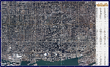
Orthophoto
-

-
Satellite
-
-
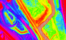
LiDAR
-

-
Custom Mapping
-
-
Wall Map
-

-
Help & Support
-

-
FBS University