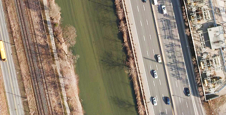
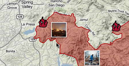
Respond to crisis events prepared with detailed information about conditions at the site.
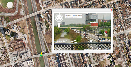
Efficiently collaborate efforts and communicate real-time updates with mobile responders, stakeholders and the public.
Use Cases
Improved Preparation
- Compare Current and Historical Conditions
- Vulnerable Area Assessments
- Forecasting and Reporting
- Cross Jurisdictional Communication
Improved Communications
- Collaboration Between Multiple Agencies
- Real Time Communication and Information
- Accurate Fleet, Field Team Deployment
- Efficient Emergency Response
Improved Response
- Informed, Coordinated Decisions
- Track Mobile Assets in Real Time
- Ongoing Surveillance
- Mitigate Loss of Life and Property
Custom Solutions
Get a fully comprehensive solution that:

- Improves Pre-Planning and Preparation Measures
- Provides a Common Platform to Accurately Communicate Real Time Updates to all Responders
- Improves Response Times
- Increases Public Awareness Before, During and After Events
- Includes Real Time Monitoring to Communicate Responder Efforts
Discover More
-

-
Data Catalogue
-

-
Elevation
-

-
VuMAP
-

-
Image Acquisition
-

-
Frequently Asked Questions
-

-
Custom Mapping
-

-
Satellite
-

-
FBS University


 905-477-3600
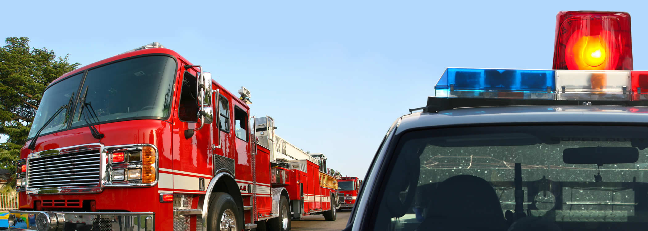
 Blog: Improve First Response With Aerial Imagery