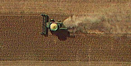
Use up-to-date imagery and mapping to efficiently target the right crops with the right inputs at the ideal time.
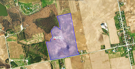
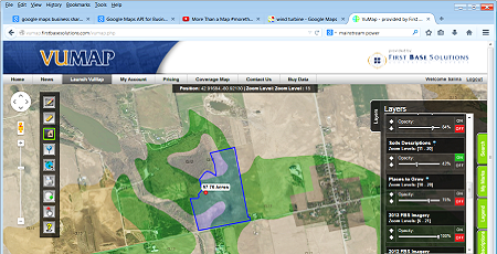
Accurately measure areas of tillable parcels and assess variations in soil composition, drainage, and pest impact to forecast yields.
Use Cases
Precision Agriculture
- Optimize the Application of Field Inputs
- Better Field Measurement and Yield Forecasting
- Identify and Address Under Performing Crops
- Pool Resources Through Farming Co-ops
Increase Production
- Manage Environmental Variables and Risk
- Monitor Crop Health Through the Growing Season
- Forecast Factors that Influence Crop Productivity
- Promote Soil Sustainability
Water Resource Management
- Prioritize Irrigation Use
- Predict Evaporative Demand and Water Availability
- Ensure Regulatory Compliance and Best Practices
- Establish Agricultural Water Rights
Custom Solutions
Get a fully comprehensive solution that:

- Increases Revenues by Increasing Overall Crop Yields
- Reduces Cost, Waste and Production Times
- Remotely Monitors Fields and Crops Over Time
- Maximizes Yields and Minimizes Investment Through Precision Crop Maintenance
- Improves Sustainability
- Guides Smart Capital Investments
- Reports on Successes to Apply for Government Programs
- Enhances Information Sharing and Communication Among Co-ops and Local Associations
Discover More
-

-
Data Catalogue
-

-
Satellite
-
-
Ontario Base Map
-

-
Frequently Asked Questions
-

-
Custom Mapping
-

-
Orthophoto
-

-
VuMAP
-

-
FBS University


 905-477-3600
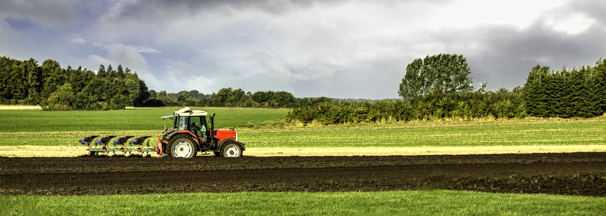

 Blog: Spatial Data Maximizes Agricultural Yields