905-477-3600

First Base Solutions offers Geo-intelligence services to a wide range of industries, enabling them to take full productive advantage of the land around them.
Explore below, and discover how FBS can help you thrive in your industry through superior location intelligence. Get your advantage over the competition with our products.


Agriculture:
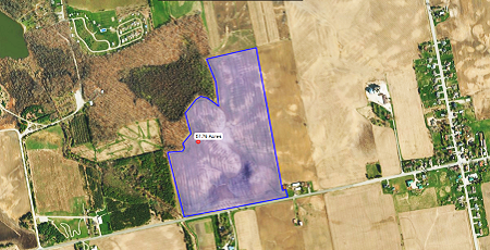
Use up-to-date imagery and mapping to efficiently target the right crops with the right inputs at the ideal time. Accurately measure areas of tillable parcels and assess variations in soil composition, drainage, and pest impact to forecast yields.
Advantages:
- Precision Agriculture
- Crop Management and change detection
- Water Resource Management
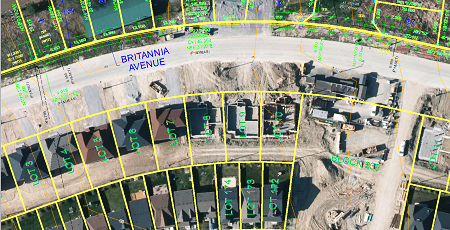
Construction:
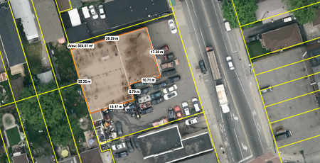
Measure and assess your site’s unique conditions with high resolution aerial imagery. Estimate material costs & quote customers from your desk. Gain insights to make smart decisions and direct resources to where they’re most profitable.
Advantages:
- Gain Situalional Awareness
- Visualize and Communicate work plans
- Optimize sales process and Win more jobs
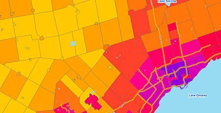
Banking and Finance
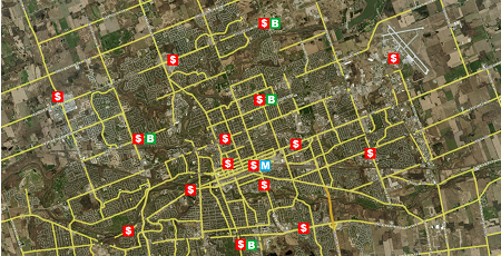
Locate under serviced areas, keep on top of trends, and pull new insights out of the data you already have.Use map based analytical tools to gain situational awareness, plan with confidence, and visualize and share complex information.
Advantages:
- Effective Target Marketing
- Effective Customer Analytics
- Improved mitigation and Governance
Education
Teach with technology to engage students, or source quality spatial data for high level academic research.Administrators use mapping tools to plan for the future, or share information internally and with the public. Non commercial users may qualify for discounts. Just ask!
Advantages:
- Intergrate data into the classroom
- Real world data as Teaching materials
- Adminstration Forecasting of Demographics and Community Needs


Planning and Government
Keep your data collection up-to-date with custom aerial imagery and mapping from First Base Solutions.Let us build custom mapping tools to help you and your community get more insights out of the data you already have.
Advantages:
- Improved Zoning and Land use decision making
- Public Services Communication
- Information Sharing
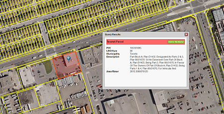
Legal
Keep your data collection up-to-date with custom aerial imagery and mapping from First Base Solutions.Let us build custom mapping tools to help you and your community get more insights out of the data you already have.
Advantages:
- Reliable Supporting Evidence
- Accident Reconstruction
- Site and property research
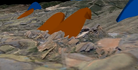
Mining
Choose from aerial imagery, terrain models, parcel boundary mapping, floodplains and more.Analyze potential sites without leaving the office. Have us develop a custom application to help you plan, track, and communicate the project progress.
Advantages:
- Reduced Exploration and Site location cost
- Improved Land management
- emergency response coordination
Natural Resources and Environment
Research remote areas, monitor environmental changes over time, accurately assess site conditions.Collaborate on large scale projects and planning using a common mapping tool, then share engaging, visual reports with stakeholders.
Advantages:
- Seamless Jurisdictional Communication and Data Sharing
- Assess Site Suitability and Research Land information
- Regulatory Compliance


Insurance
Use our suite of communication tools to deploy team members in the field and track mobile assets.Gain situational awareness to accurately assess risk factors and verify damage unique to specific properties or neighborhoods.
Advantages:
- Risk assessment reporting and analysis
- damage assessment reporting and analysis
- Forecasting and Modeling
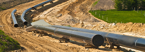
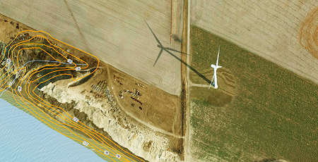
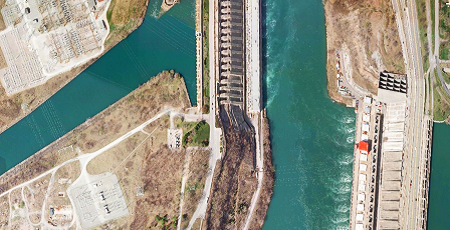
Energy
Get engineering quality data to monitor your infrastructure networks from your desk.Get imagery, terrain models, boundaries, floodplains and more, or, have us develop a custom application to help you plan, track, and manage operations.
Advantages:
- Non-Intrusive Environmental Assessments
- Infrastructure maintenance and Monitoring
- Mobile Asset Tracking
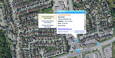
Public Safety
Respond to crisis events prepared with detailed information about conditions at the site.Efficiently collaborate efforts and communicate real-time updates with mobile responders, stakeholders and the public.
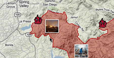
Advantages:
- Improved Disaster Preparation
- Multi-agency communication
- Informed, Coordinated responses and decision making
Transportation
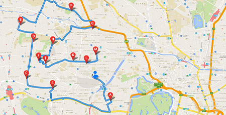
Let dispatchers see the location and availability of mobile staff on a map and keep track of assets in the field.Optimize delivery routes as traffic conditions change, and make business decisions based on reliable, detailed, spatial data.
Advantages:
- Route Optimization and Proximity Analysis
- Fleet and Workforce Management
- System-Wide Location Awareness Technologies (LATs) Integration


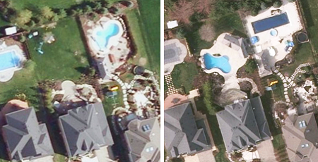
Real Estate
Make the sale or manage your property portfolio with mapping tools for real estate pros like you. We’ve combined our own high resolution aerial imagery with easy to use tools for property research and information management.
Advantages:
- Improved Target Marketing
- Property Managment
- Reduced Assessment cost
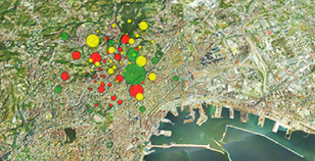
Public Health
Manage large spatial data sets internally and share meaningful information with the public.Analyze regional demographics with maps and imagery to plan capital projects and accurately forecast the future needs of the community.
Advantages:
- Managing of Infectious Disease
- Customer Outreach and service
- forecasting and analysis of communities
Hospitality and Travel
Share your site’s best features with the world through maps and imagery to make a great first impression.Learn your customers’ online habits and target your advertising more effectively with minimal investment in software and training
Advantages:
- Improved Customer Retention and Analytics
- Location and Site evaluation
- Target Sales and Marketing efforts
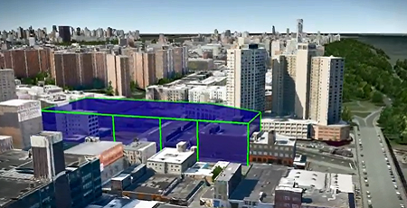
Engineering
“Custom mapping applications help you plan, track, and communicate the project progress.Get engineering quality imagery, terrain models, boundaries, floodplains and more for your develop-able land.
Advantages:
- Site Details- Increase project Accuracy
- Site Details- Reducing Project Costs
- Plan, Manage and Track Project Progress