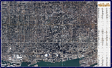
Get online mapping tools to search legal descriptions and property boundaries.
Have us prepare compelling printed materials with high resolution date stamped aerial imagery to illustrate your arguments at trial.
Use Cases
Reduce Cost and Time
- 24/7 Online Service
- Searching Tools
- Online Library of Data
- Reliable Supporting Evidence
Increase Accurate Analysis
- Accurate Measurements of Direction, Distance, and Area
- Objective Records of the Past
- Establish Sight Lines
- Accident Reconstruction
Improve Reliable Evidence
- Persuasive Visual Material
- Up-To-Date Information
- Date Stamped Historical Imagery
- Establish Timelines
Custom Solutions
Get a fully comprehensive solution that:

- Improves Trial Exhibits and Supporting Documentation
- Enhances Evidence Materials for Effective Courtroom Presentations
- Increases Analysis and Reporting Accuracy
- Improves Operational Efficiency Through Quicker Research
- Improves Client Satisfaction and Online Engagement
- Improves Situational Awareness Through Geographic and Location-Enabled Data
- Attracts New Clients Through Effective Target Marketing
Discover More
-

-
Data Catalogue
-
-
Wall Map
-

-
Printing
-

-
Frequently Asked Questions
-

-
Parcel
-

-
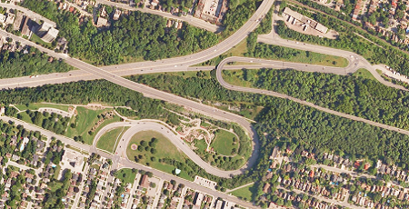
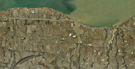
Orthophoto
-

-
VuMAP
-

-
FBS University


 905-477-3600
 Blog: Law of the Land: Adverse Possession – Goode v. Hudon, 2005
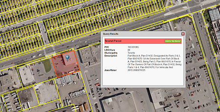
 Use Cases In Depth