Choose from aerial imagery, terrain models, parcel boundary mapping, floodplains and more.
Analyze potential sites without leaving the office. Have us develop a custom application to help you plan, track, and communicate the project progress.
Use Cases
Reduce Exploration Cost
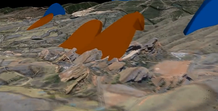
- Geological Modeling in 3D
- Measure and Analyze From Your Desktop
- Calculate Economic Potential
- Reduce Costly Site Visits
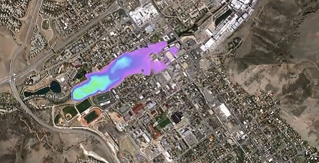
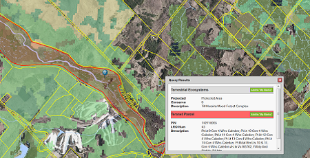
Improved Land Management
- Ensure Regulatory Compliance and Best Practices
- Identify Wellheads and Sensitive Environmental Features
- Quantify the Impact on the Surrounding Ecosystem
- Science-Based Decision Support System
Improve On-Site Communication
- Real Time Mobile Asset and Workforce Tracking
- Visualize and Share Complex Information
- Emergency Response Coordination Tools
- Plan and Track Project Progress
Custom Solutions
Get a fully comprehensive solution that:

- Increases Productivity
- Improves Project Timeline Accuracy
- Reduces Costs and Deficiency
- Improves Resource Tracking and Monitoring
- Provides Value Added Service for the Public and Key Stakeholders
- Improves Analysis and Reporting Accuracy
Discover More
-

-
Data Catalogue
-

-
Satellite
-

-
Elevation
-

-
Image Acquisition
-
-
Ontario Base Map
-

-
Frequently Asked Questions
-

-
Parcel
-

-
FBS University


 905-477-3600
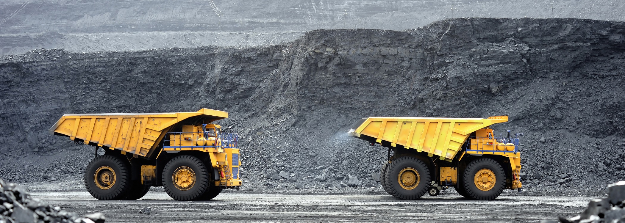

 Blog: Ontario Rocks [Photoblog]