

 905-477-3600


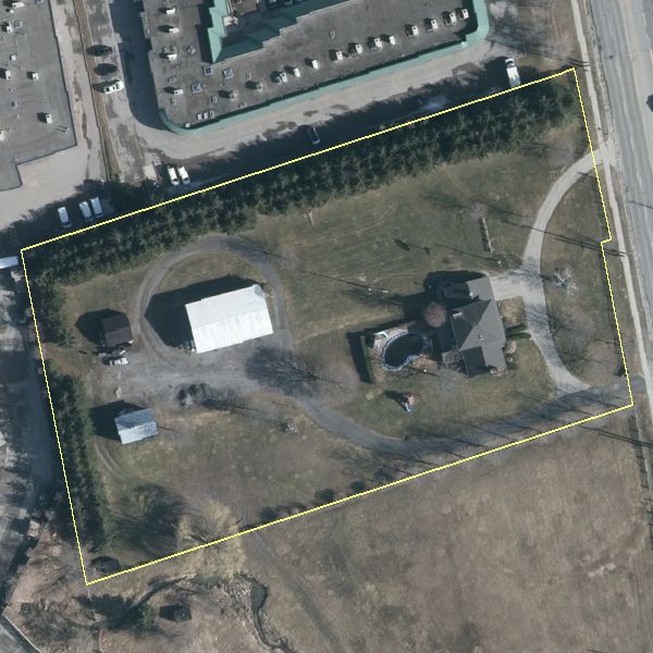
Get instant access to high resolution aerial imagery with embedded parcel boundaries.
Generate three custom aerial images for your real estate listing focused on your property.
Zoom2it Demo
Zoom2it Quick Tips: Getting Started
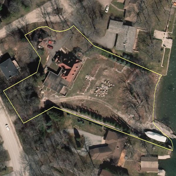
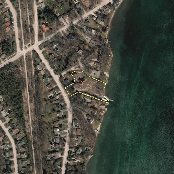
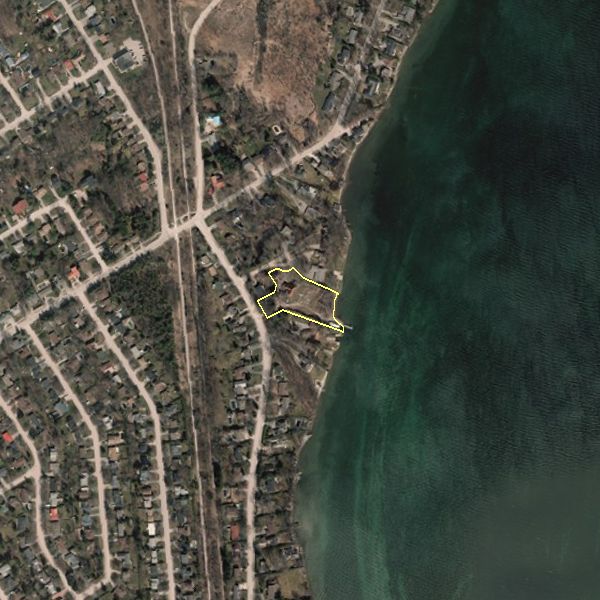
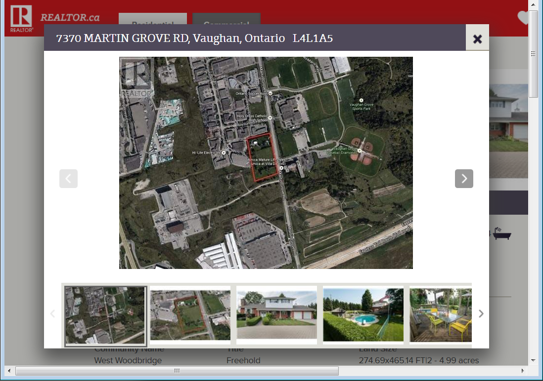
Same Property, Better Marketing
Which image will attract more buyers? Free images can cost you a sale!
 Blog: Where Are My Zoom2It Images? – Troubleshooting
After the payment by credit card is processed, users occasionally close their browser without downloading their images. The images will not be emailed to you…
After the payment by credit card is processed, users occasionally close their browser without downloading their images. The images will not be emailed to you…
In Depth
Features
- Current High Resolution Aerial Imagery Across Southern Ontario
- Bold Teranet Parcel Boundaries on Top Highlight your Property
- Three Property Views for One Low Price
- Select, Pay, Download, and Save or Print
- Create a Prepaid Account or Pay As You Go
- Search By PIN, ARN, Address, or Click on the Map
- Preview the Exact Image You’ll Receive
Benefits
- Millions of Ontario Properties to Choose From
- View the Entire Property from Overhead
- Show Off Large, Irregularly Shaped Properties
- Great for Marketing Farms, Cottages, Vacant Land, and Industrial Properties
- Enhance your Listing and Stand Out from Similar Properties
- Not Available to Unrepresented Sellers
- Easy Access Through Your GeoWarehouse Account
Blog: Why Doesn’t The Property Boundary Line Up With The Aerial Image?
Where your orthophoto and property lines don’t align perfectly, it’s not that one is right is one is wrong. It’s due to different accuracy standards used to create the data sets. A few factors come into play…
Where your orthophoto and property lines don’t align perfectly, it’s not that one is right is one is wrong. It’s due to different accuracy standards used to create the data sets. A few factors come into play…
Who’s It For?

Blog: Murder Houses: Geography of Stigma [Photoblog]
Would you consider buying a property or living in a home knowing a violent crime had taken place in order to get a slashed price?…
Would you consider buying a property or living in a home knowing a violent crime had taken place in order to get a slashed price?…
Discover More
-

-
Data Catalogue
-
-
Wall Map
-

-
Elevation
-

-
Floodplain
-
-
Printing
-

-
Frequently Asked Questions
-

-
Parcel
-

-
FBS University