
- Go to:
- MapWarehouse
- VuMAP
- MapCast
-

-

-

-
 905-477-3600


How To Purchase

MapWarehouse
Ontario’s Largest Geospatial Data Marketplace
Search for data, select files covering your location, download your order, and work with aerial imagery and geographic data. Use the interactive map to locate your area of interest and purchase multiple data sets easily and quickly with a credit card.
![]() Go Now |
Go Now | ![]() Learn More
Learn More
VuMAP
Access Every Place From One Place
View geographic data, query the map for more information, measure ground features you see in the imagery, and report on your research using this feature-packed online mapping application. Compare imagery year by year and research land information from anywhere.
![]() Go Now
|
Go Now
| ![]() Learn More
Learn More

MapCast
Unlimited Access To Ontario’s Largest Web Mapping Service
Connect to a high resolution aerial imagery mosaic base layer and elevation contours served directly to your CAD or GIS workstation, just as you would connect to data stored locally. Bandwidth based pricing allows your team to use MapCast as little or as much as you need.
![]() Go Now |
Go Now | ![]() Learn More
Learn More

Custom Order
Contour Mapping With Sub-Meter Intervals
First Base Solutions will produce complex, precise custom mapping of your site such as ground feature delineation and 3D terrain modeling based on our aerial photo. A great option for sites needing highly detailed terrain, or where the land use has recently changed.
![]() Go Now |
Go Now | ![]() Learn More
Learn More
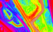
 Compare Elevation Mapping
 Compare Elevation Mapping
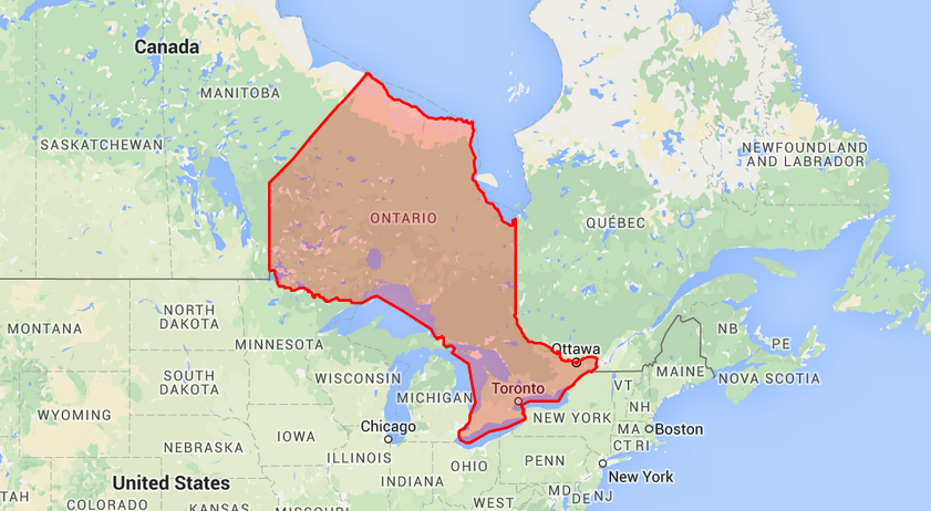
Available Data Coverage
 Blog: Rarely Asked Questions – Isn’t There Anything Newer?
The data isn’t old, it’s established. Is it really worth your time to look for updated mapping if you’re only interested in geological features or other map data that won’t change…
The data isn’t old, it’s established. Is it really worth your time to look for updated mapping if you’re only interested in geological features or other map data that won’t change…
Who’s It For?
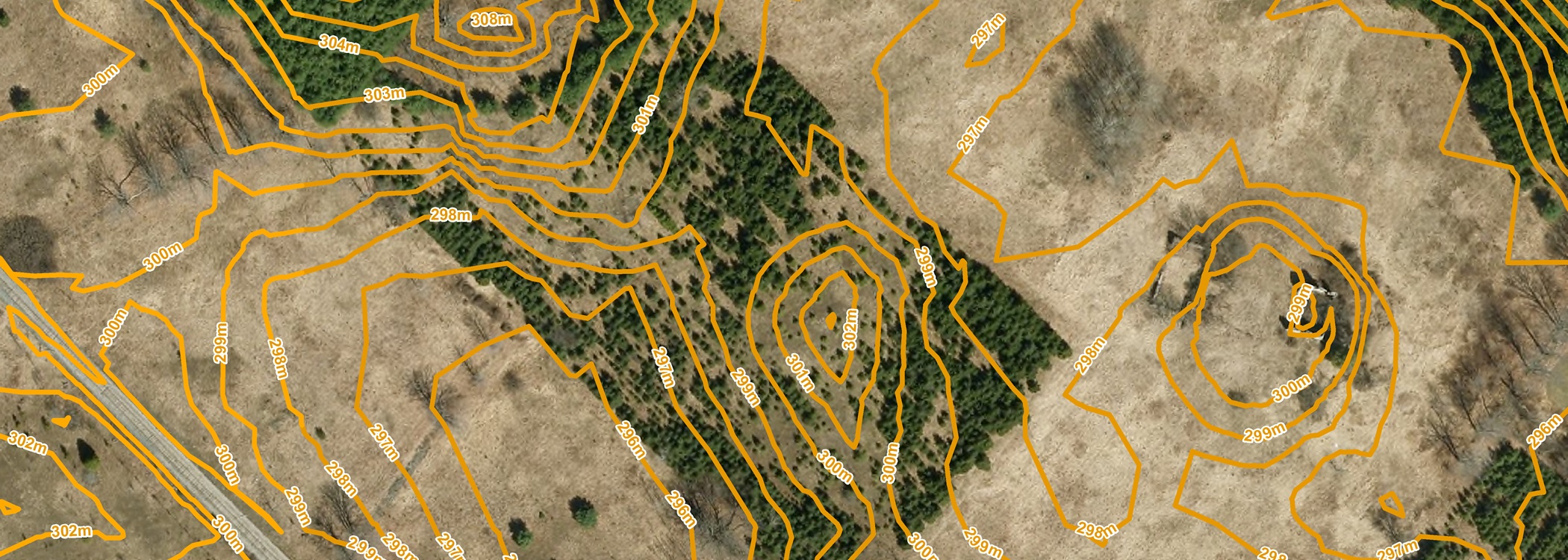
First Base Solutions produces 1m contour elevations from our orthophoto, commonly used in practical engineering applications. We can also source worldwide coverage provided by DigitalGlobe.
Predict the flow of surface water, air movement, acoustic modeling, sightline analysis, volumetric calculations, and show depth on a flat image when used together with orthophoto.


Blog: Bumps In The Road? We’ve Got Mapping For That [Cheat Sheet]
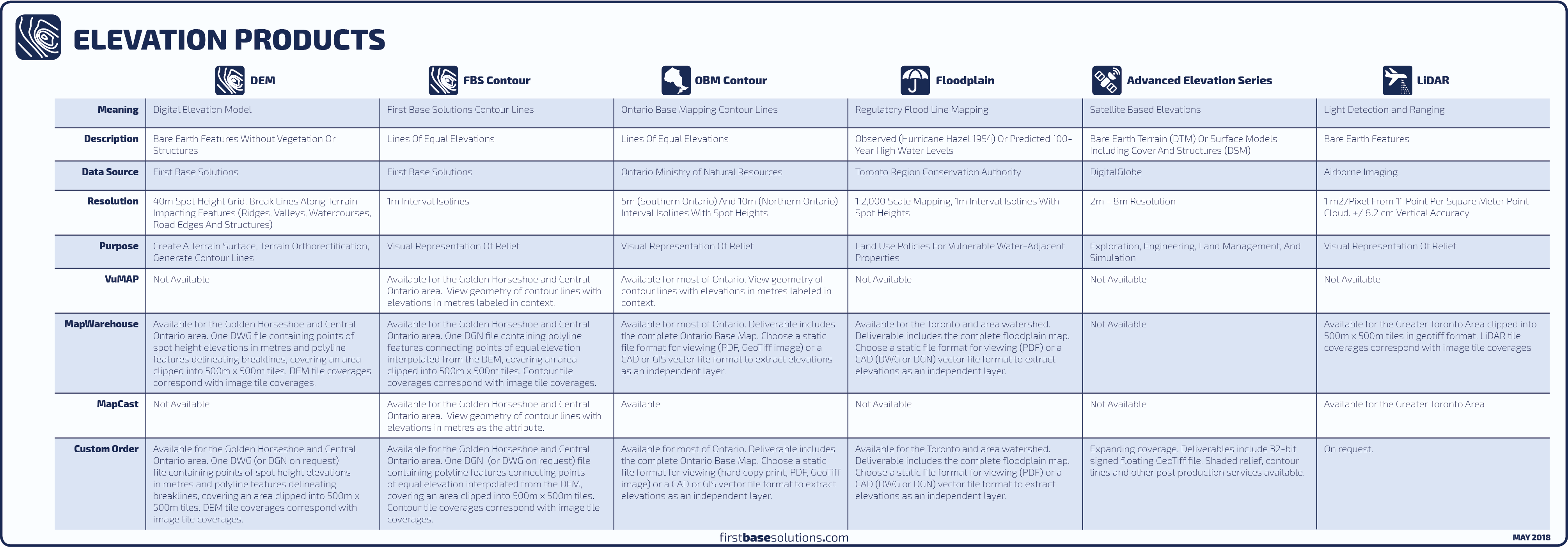
Elevation data from FBS is usually sold as either DEM with spot heights and break lines, or, as 1m interval contour lines derived from those DEM, but, we have a few other products you might not know about…
Elevation data from FBS is usually sold as either DEM with spot heights and break lines, or, as 1m interval contour lines derived from those DEM, but, we have a few other products you might not know about…
Discover More
-

-
Data Catalogue
-

-
Orthophoto
-
-
LiDAR
-

-
Parcel
-

-
MapCast
-

-
Floodplain
-

-
Frequently Asked Questions
-

-
FBS University