

 905-477-3600
Use Cases

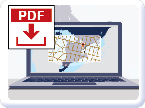
 Download Use Case
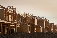
You may be planning a new development in a greenfield site or redeveloping a parcel in the core of the urban jungle. You may be dealing with complex geotechnical variability or working around tight time frames and limited access to the site. Whatever the project, the first step is finding out what’s there.

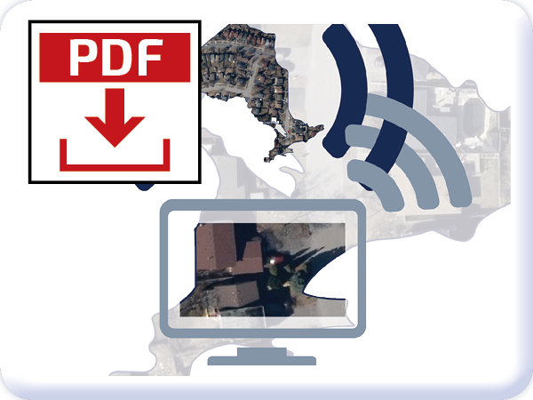
 Read More
It’s not about what you’ve got, it’s about what you can do with it. Proper analysis of your building site can help your development blend well with the surrounding streetscape, maximize economic potential, or enhance any unique physical features. First Base Solutions gives you the tools to make the most of your location.

Location intelligence is crucial to managing massive projects and making good decisions. Golder Associates is a Toronto based company engaged in ground engineering and environment related professional services for clients spanning the globe. First Base Solutions’ MapWarehouse has been Golder’s top pick to expedite the site research phase.

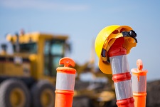
Once you’ve become familiar with the details of the site and identified its assets and pain points, ran a few simulations, and made a few educated guesses, the decisions you’ve made in the pre construction phase will be put into practice. The focus shifts to refining the details, tracking progress, allocating resources, and managing problems as they arise.

For companies managing multiple properties, rooftops, pavement, landscaping and other big ticket real estate improvements go through cycles of routine maintenance, scheduled replacement, and emergency repairs. Performing these tasks quickly and efficiently is key to retaining good tenants and keeping the property owner happy.

In the highly competitive world of real estate, you need every advantage you can get when it comes to selling. Knowing your market and understanding the unique characteristics of the local neighbourhoods are good places to start. Efficiently managing your resources and administrative duties can also help optimize profit margins.
Property assessments are a routine exercise when there are changes to property ownership, legal description, where building or demolition permits were taken out, classification or zoning amendments, among other reasons. Correct value assessments are necessary to calculate property taxes that share the tax burden fairly among landowners, and provide residents with a predictable expense.

Online research; you do it everyday and so do your clients, so why is your website just your name and phone number? First Base Solutions (FBS) is a provider of high end mapping and technology products that can transform the way you do research, manage documents, and interact with your clients.

The old expression “time is money” never rings more true as it does in the legal profession. You know how to do your job better than anyone else, First Base Solutions is giving you tools to do it better, faster, and cheaper. See measurable results immediately.

“You said the house is in escrow, but I can’t locate that neighbourhood on the map!” Sound familiar? Average people trust you with the biggest investment they’ll ever make. You do the hard work of dotting the I’s and crossing the T’s, drafting clear and specific purchase agreements in complex legal language. Why make your job more difficult by using outdated tools?

Visual materials are particularly persuasive as evidence in a courtroom. In the case of land based claims such as disputes over property limits, prescriptive easements, modifications to structures, pollutant sources, or access to natural resources at a specific site, aerial photos can provide reliable, objective, date stamped supporting evidence.
Accurate measurements of building footprints, fences, slopes and the like allow you to estimate material costs and quote your customer quickly without ever leaving your computer. The result is that your staff, vehicles and equipment can be directed to where the profitable job is, and not waste time and gas driving all over town, or worse, stuck in traffic.

Your business is customer-centric by nature and you want to offer value for money when guests come to your facility. By improving behind the scenes facility management processes, your resources can be put towards public facing operations that set your business apart from the competition.

It’s no wonder given Ontario’s potential, both geographically and economically, that there are so many homeowners ready to invest in solar energy. If you’re a solar energy company footing the bill upfront for a microFIT installation, aerial imagery from FBS is the best and fastest way to make sure the site’s physical characteristics are ideal for solar production, and cost recovery.
Enertech is a start-up company formed in 2011 in Wichita, Kansas that helps pipeline companies manage not just their infrastructure conditions, but also their massive stakeholder contact lists. The Xchange Public Awareness platform built by First Base Solutions (FBS) on top of the Google Maps API is their basis for success.
Sell Sheets

Testimonials
Our Customers Speak – Product Overview
Michelle Tremblay, Civil Engineer with MNT Consulting Group
Michelle talks about how she uses VuMAP to quickly and inexpensively review the imagery and terrain contours on a study area, without the expense of a site visit or topographical survey.
VuMAP Customer Testimonial
Steve describes how he uses VuMAP to share spatial information between staff in different offices across the country. Steve saves money by viewing sites instantly and avoiding the expense of managing spatial data with expensive internal servers and databases.
Steve Usher, Senior Hydrogeologist with SLR Consulting
MapWarehouse Customer Testimonials
Customers Michelle Tremblay and Steve Usher talk about how they use First Base Solutions’ MapWarehouse to quickly purchase and download orthoimagery, terrain contours and other geospatial data.
Discover More
-

-
Data Catalogue
-
-
LiDAR
-

-
Frequently Asked Questions
-

-
Satellite
-

-
Parcel
-

-
Elevation
-

-
MapCast
-

-
News & Events