- Go to:
- MapWarehouse
- VuMAP
- MapCast
-

-

-

-
 905-477-3600


Saving · Streaming · Surfing

MapWarehouse
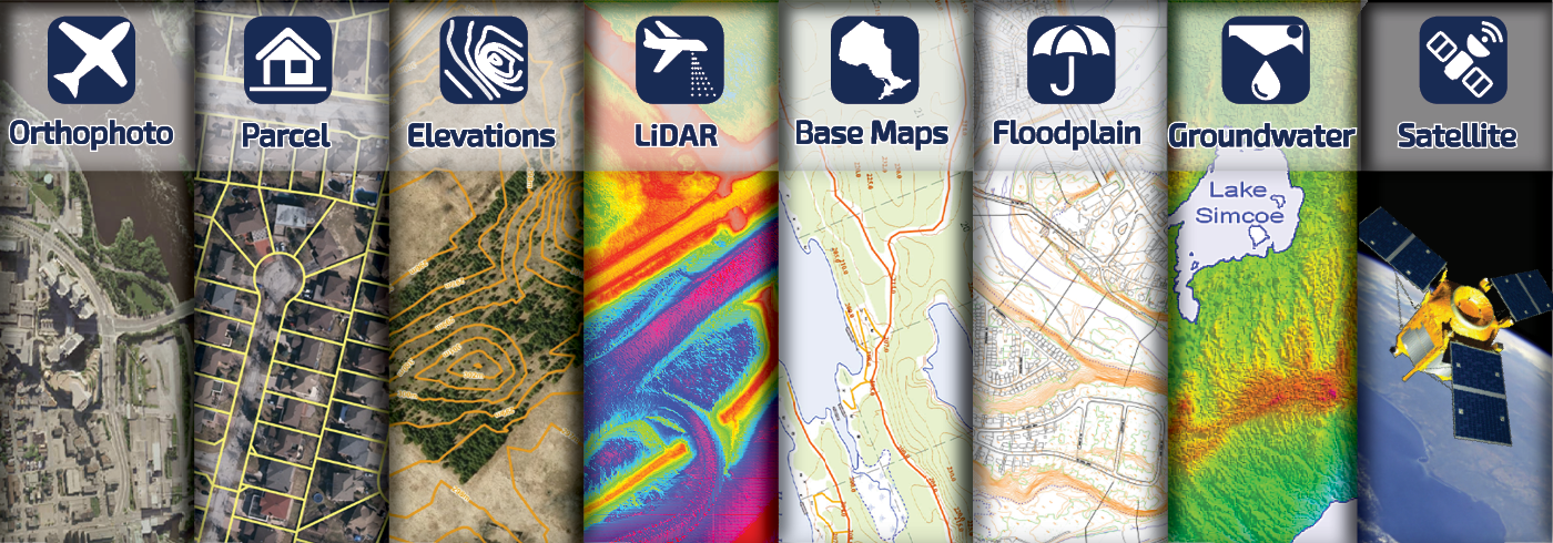
Use the interactive map to locate and purchase geographic data.

MapCast
Aerial imagery served directly into your desktop CAD or GIS software.

VuMAP
A feature-packed online mapping application with easy to use, built in tools.
 Updates
- New! Alberta Towns 2019 January 30, 2020
- Lunch and Learn: Applications for Satellite Imagery in Ontario October 25, 2019
- Now Available: London, Kitchener, Cambridge, Waterloo, Guelph, Barrie, York Region September 30, 2019
- New Data Coming Soon to MapWarehouse September 10, 2019